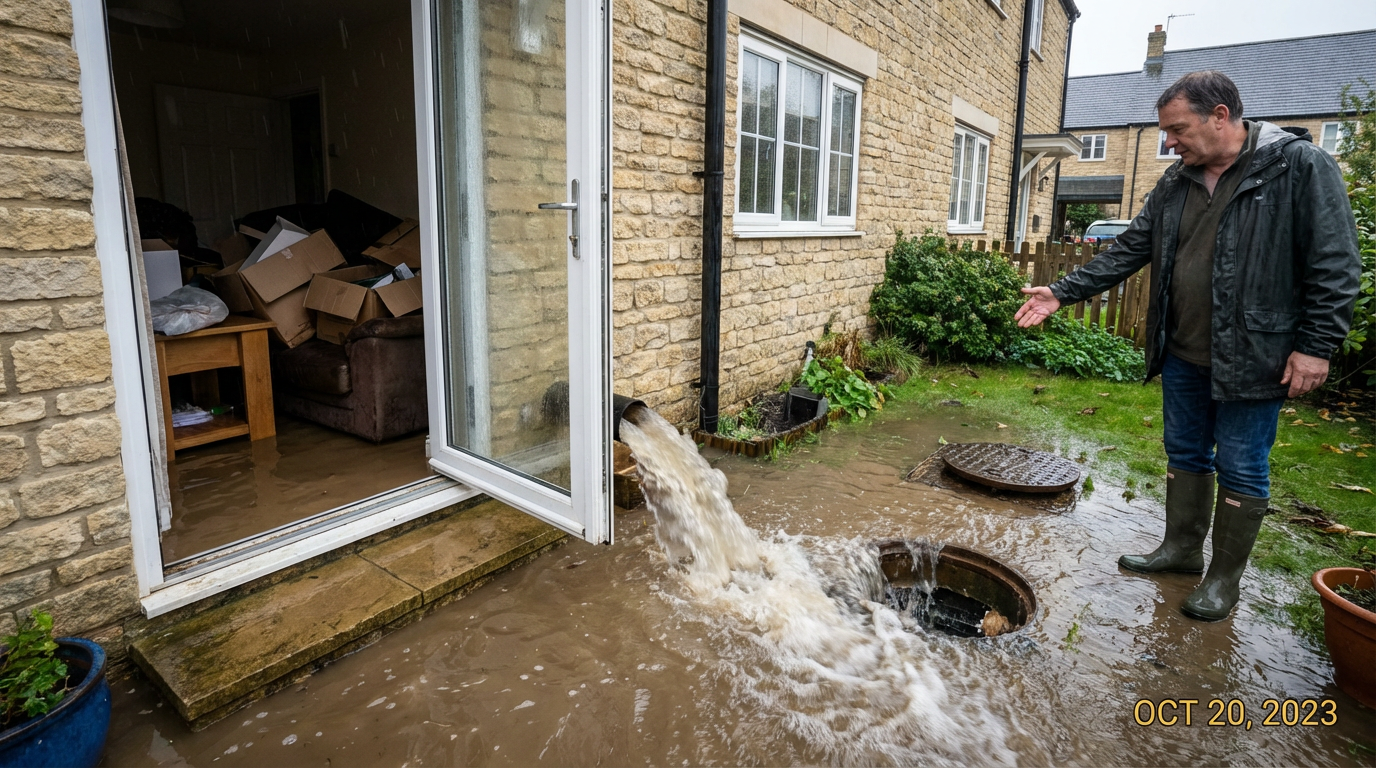
Oxford has been one of England's most flood-prone cities for centuries. The floods of 2007 and the winter events of 2014 and 2020 remain fresh in many residents' memories — and with climate projections pointing to more frequent high-rainfall events, flood risk has never been more relevant when buying a property in Oxford or Oxfordshire.
The good news is that flood risk can be assessed, understood and managed. The key is knowing what to look for — and asking the right questions before you commit to a purchase.
Understanding Oxford's Flood Geography
Oxford occupies a relatively low-lying position in the Upper Thames Valley. The River Thames (locally known as the Isis) runs along the southern and western edges of the city, while the River Cherwell runs north–south through the eastern areas. Where these two rivers meet at Folly Bridge, the floodplain is extensive.
The areas of Oxford at highest historic flood risk include:
- Osney and Osney Mead — low-lying island area west of the city centre, very significant flood history
- Grandpont and South Oxford — properties near the Thames floodplain, particularly between Folly Bridge and Abingdon Road
- Iffley and Kennington — properties near the Thames between Oxford and Abingdon
- Marston and Cutteslowe — near the Cherwell floodplain north-east of the city
- Wolvercote and Binsey — north of Oxford near the Thames and its tributaries
- Abingdon town centre — particularly properties close to the Thames and the bridge area
This does not mean all properties in these areas are at unacceptable risk — but it does mean you need to investigate carefully before buying.
The Environment Agency Flood Zones Explained
The Environment Agency classifies land in England into three flood zones based on the probability of flooding from rivers and the sea:
Flood Zone 1 — Low Probability
Less than 0.1% annual probability of flooding. No special flood risk assessment required for standard development.
Flood Zone 2 — Medium Probability
0.1%–1% annual probability (a 1-in-100 to 1-in-1,000 year event). A flood risk assessment is required for most development. Insurance can still be obtained but is likely to carry a premium.
Flood Zone 3 — High Probability
Greater than 1% annual probability of river flooding (more than 1% a year from rivers, more than 0.5% from the sea). This is a significant flood risk. Insurance can be very expensive or in some cases difficult to obtain.
You can check any property's flood zone for free on the Gov.uk flood risk checker. However, this gives only a starting point — a professional flood risk assessment as part of a building survey provides much more detail about the specific property and its site.
What Our Surveyors Look for During a Flood Risk Assessment
When we carry out a Level 3 Building Survey on a property in or near a flood zone, we look for both historic evidence of flooding and the property's vulnerability to future events. This includes:
- Tide marks: High-water marks on internal or external walls indicating past flood levels
- Floor construction: Suspended timber floors are much more vulnerable to flood damage than concrete — and much more expensive to dry out and reinstate
- Boiler and electrics positioning: Are the consumer unit, boiler and other critical systems installed above likely flood levels?
- Drainage: Is surface water drainage adequate? Are there non-return valves on drains to prevent backflow during high river levels?
- Previous remediation: Evidence of flood-resistant construction (flood barriers, air brick covers, tanking) may indicate the owner has accepted flood risk and invested in mitigation
- Neighbour testimony: Where we can speak to neighbours, we ask about past flooding events — invaluable information that doesn't always appear on formal records
- Local authority flood history: We review any available planning and flood history documentation for the property and its immediate area
Flood Insurance: What You Need to Know
Insurance is one of the biggest practical issues for buyers of flood-risk properties in Oxfordshire. The Flood Re scheme, launched in 2016, helps homeowners in high flood-risk areas access affordable building insurance — but it has limitations:
- Flood Re does not cover properties built after 1 January 2009
- It does not cover commercial properties, buy-to-let, or small businesses
- Cover is available, but excess levels for flood claims can be high (sometimes £10,000+)
- The scheme is due to wind down by 2039 — long-term insurance availability beyond this date is uncertain
Always get a definitive insurance quote before committing to purchase. Some lenders will not offer mortgages on properties in high flood-risk areas without adequate insurance being in place.
Flood Mitigation: Can You Reduce the Risk?
For many buyers, a flood-risk property in Oxford is still worth purchasing — particularly if the price reflects the risk and effective mitigation is possible. Common flood-resilience measures include:
Resistance Measures
- Flood barriers and door guards
- Air brick covers
- Non-return valves on drains
- Raised threshold levels
- Waterproof render and coatings
Resilience Measures
- Concrete ground floors
- Raised electrics and boilers
- Waterproof insulation
- Stone or tile floors (not carpet)
- Flood-proof ground floor joinery
Buying Near a Flood Zone in Oxford?
Our Level 3 Building Surveys include detailed flood risk assessment and practical advice on flood mitigation for every property in or near a flood zone.
Get a Free Quote